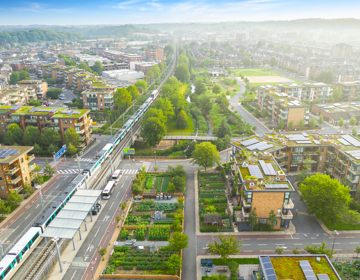
Monitoring within urban ecosystems is transitioning from intermittent manual sampling to automated, real-time data networks. In the built environment, this practice provides the baseline data needed to verify whether nature-based solutions are meeting their structural and ecological targets. By continuously tracking parameters like stormwater runoff velocity, soil moisture, and microclimatic temperatures, monitoring shifts urban planning from speculative design to evidence-based management. Platforms like Oppla.eu rely on these continuous data streams to validate nature-based case studies and standardize global performance indicators. Ultimately, rigorous monitoring transforms static gray infrastructure into an adaptive, responsive network capable of adjusting to accelerating climate instabilities.
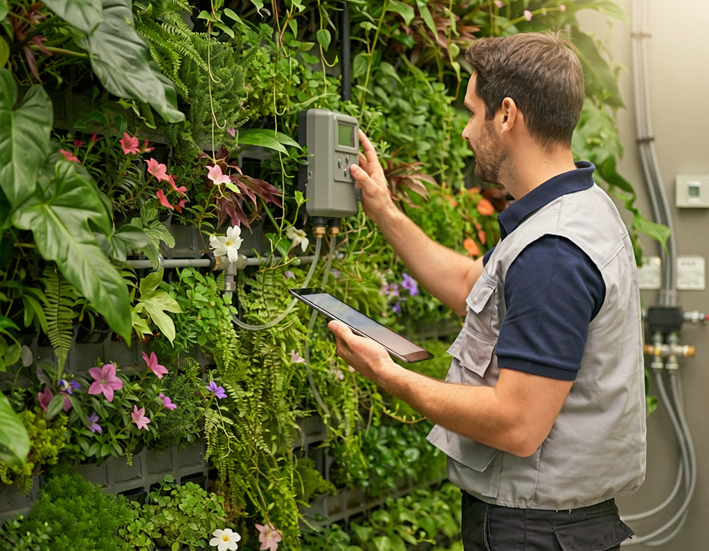
The integration of green and blue infrastructure into the built environment requires a profound shift in how urban assets are managed over time. Unlike traditional gray assets—such as concrete storm channels or asphalt roads—nature-based solutions (NbS) are dynamic, living systems whose performance fluctuates according to environmental variables, seasons, and structural maturity. Consequently, environmental monitoring has emerged as an essential mechanism within ecosystemic research, serving as the primary tool to quantify the long-term efficacy, cost-effectiveness, and structural integrity of sustainable urban drainage systems, green roofs, and urban forests.
Methods and Technologies in Urban Ecosystem Monitoring
To capture the intricate dynamics of nature-based assets, modern monitoring methods combine localized ground-level sensors with extensive macro-scale observations. On a localized level, internet-of-things (IoT) sensing arrays are embedded directly into urban soils and hydrological networks. These sensors capture high-resolution temporal data on parameters like volumetric soil moisture content, peak stormwater flow reduction, and localized ambient air cooling.
On a broader metropolitan scale, ecosystemic research relies heavily on satellite remote sensing and GIS analysis. Urban planners utilize high-resolution multi-spectral imagery to compute the Normalized Difference Vegetation Index (NDVI) and evaluate land surface temperatures (LST). These datasets allow researchers to map out exactly how urban heat islands behave over time, verifying whether green masterplans successfully lower ambient temperatures across dense asphalt centers.
[Sensing Layer: IoT & Ground Arrays] ──> Measures soil moisture, water flows, microclimates
[Spatial Layer: Satellites & UAVs] ──> Maps urban heat islands (LST) & canopy vitality (NDVI)
[Analysis Layer: Oppla & Platforms] ──> Standardizes KPIs to inform future urban design
Evidence-Based Adaptation and Predictive Maintenance
Without rigorous, continuous monitoring data, nature-based installations run the risk of structural underperformance or unnoticed degradation. For example, severe prolonged droughts can cause the substrate in bio-retention cells to crack, which then triggers preferential flow paths that undermine water retention capabilities during subsequent heavy rainstorms.
Continuous data collection enables predictive maintenance strategies for green infrastructure, allowing municipal engineers to irrigate vegetation before irreversible wilting occurs or clear sediment blockages in drainage basins prior to flash floods. Furthermore, tracking this data provides concrete evidence of ecological co-benefits—such as increased urban biodiversity or carbon sequestration rates—helping project managers justify long-term capital allocation to public and private stakeholders.
Knowledge Standardisation Through Oppla
A major challenge facing global urban developers is the lack of standardized metrics to compare the performance of diverse green installations across different geographic regions. The Oppla.eu knowledge platform actively mitigates this issue by compiling standardized monitoring toolkits, evaluation frameworks, and cross-comparable case studies.
By offering access to universal handbooks, such as the Evaluating the Impact of Nature-Based Solutions operational framework, Oppla guides project teams through setting up baseline indicators, picking appropriate control sites, and evaluating socio-economic impacts. This shared repository of performance data ensures that municipal engineers do not need to design monitoring systems from scratch, facilitating the scaling of verified, climate-resilient urban infrastructure worldwide.
References
- Croce, S., & Vettorat, D. (2023). Remote sensing and ground-level monitoring methods for evaluating urban green infrastructure performance under climate pressures. Frontiers in Sustainable Cities, 5, 1147576. https://www.frontiersin.org/journals/sustainable-cities/articles/10.3389/frsc.2023.1147576/full
- Dumitru, A., & Wendling, L. (2021). Evaluating the impact of nature-based solutions: A handbook for practitioners. European Commission via Oppla Portal. https://oppla.eu/product/21966
- Giacomoni, M. H., & Shuster, W. (2022). Automated predictive maintenance and hydrological monitoring for decentralized urban water management systems. Water, 14(19), 2996. https://www.mdpi.com/2073-4441/14/19/2996
- Nika, M. C., & Kalantari, Z. (2023). Multi-source remote sensing data integration for long-term monitoring of urban nature-based solutions and climate resilience. Remote Sensing, 15(21), 5129. https://www.mdpi.com/2072-4292/15/21/5129