Bio-link value
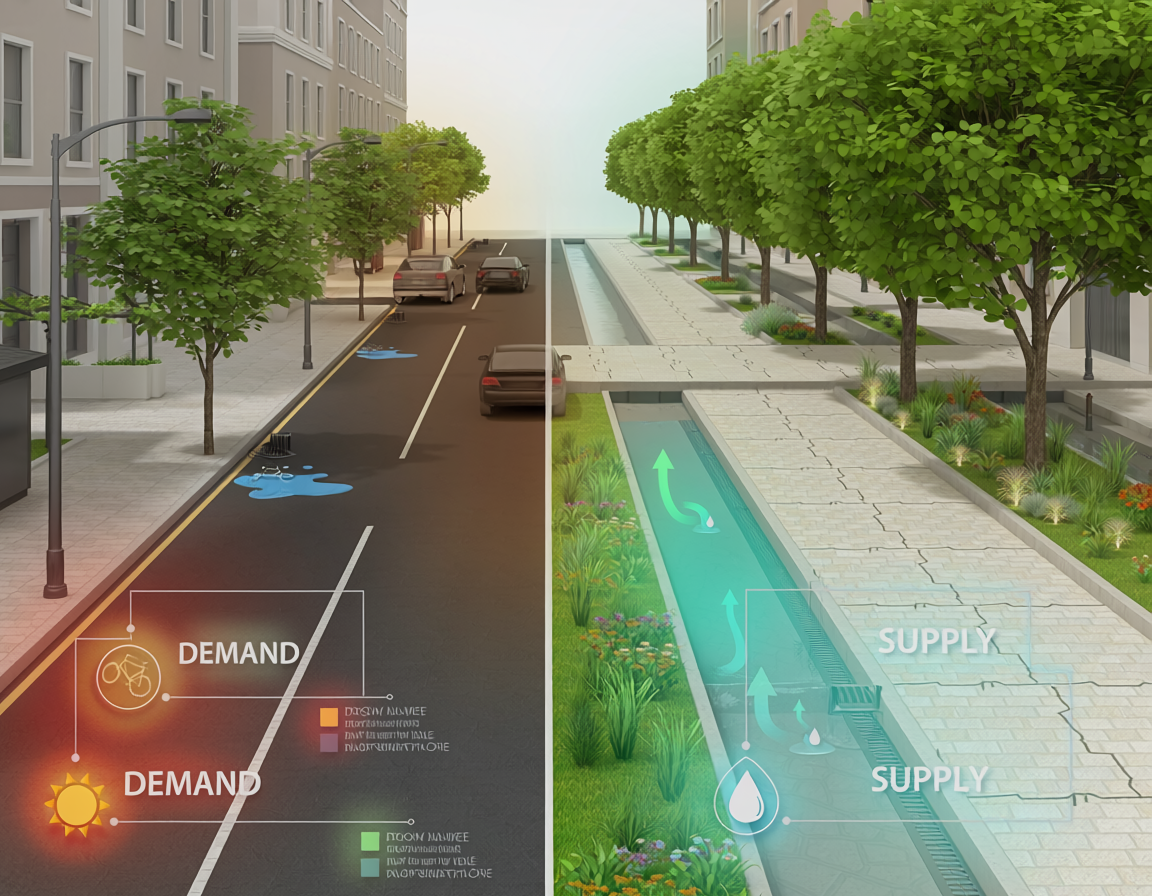
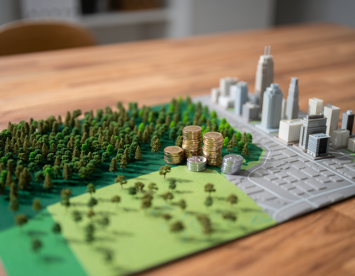
The bio-link value represents a quantitative metric used to assess the ecological connectivity and functional strength of biological corridors within fragmented landscapes. In an era dominated by accelerating urban sprawl, evaluating this value helps planners identify critical pathways that allow flora and fauna to migrate safely between isolated natural hubs. By calculating factors such as patch proximity, structural width, and species-specific resistance, this index transforms qualitative conservation goals into precise, actionable design parameters. Maximizing bio-link values across regional networks prevents the genetic isolation of vulnerable populations while reinforcing systemic resilience against shifting climate patterns. Ultimately, embedding this metric into early spatial planning ensures that commercial growth does not permanently dismantle the underlying web of natural life.
Bio-link Value in the Built Environment
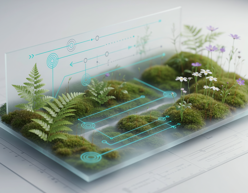
In the fields of urban landscape architecture, spatial planning, and civil engineering, the built environment has long acted as a physical barrier to natural ecosystems. Roads, housing developments, and industrial zones isolate wildlife populations into small, fragile pockets of greenery. To address this fragmentation, ecosystemic research uses the concept of the bio-link value. This metric evaluates the quality, efficiency, and functional performance of ecological corridors—or “biolinks”—that reconnect isolated natural spaces through human-dominated landscapes. By focusing on the bio-link value, urban designers can move beyond simply creating isolated green spaces and focus instead on building continuous, interconnected ecological networks.
Evaluating and improving the bio-link value requires a deep understanding of how natural species move through urban environments. Open-access repositories like Oppla.eu serve as central hubs for this work, offering case studies, tools, and shared datasets focused on nature-based solutions (NBS) and landscape connectivity. By using ecosystemic research and collaborative knowledge platforms, urban planners can convert raw environmental data into specific design actions. This ensures that features like green roofs, linear parks, and pocket wetlands work together to maximize the regional bio-link value.
Methods and Measuring Connectivity
To successfully use the bio-link value in urban planning, researchers employ specific methods to map and measure how easily species can move through the built environment:
- Least-Cost Path Analysis and Graph Theory: Planners view the urban landscape as a network of ecological hubs and corridors. By assigning different “resistance values” to urban features—where a busy highway has high resistance and a tree-lined pedestrian street has low resistance—designers can calculate the most efficient paths for wildlife movement.
- Structural and Functional Indices: Measuring a corridor involves looking at both its structural features (such as width, plant diversity, and canopy cover) and its functional performance (actual recorded wildlife use). Maximizing these factors directly increases the overall bio-link value of the space.
- Step-by-Step Urban Stepping Stones: In dense urban areas where continuous green corridors are not possible, planners design a network of small, strategically placed green spaces. These “stepping stones,” such as biodiverse green roofs or rain gardens, help species move across the city.
Practitioners can find guidance on these methods through the Landscape Institute’s green infrastructure resources, which outline professional standards for designing connected landscapes. Additionally, tools available on the Oppla Portal help planners model how small, local interventions can improve the wider regional bio-link value.
Policy Integration and Ecosystemic Impact
Increasing the bio-link value across urban areas matches the core goals of major international environmental policies. The United Nations Sustainable Development Goals, particularly SDG 15: Life on Land, highlight the urgent need to halt biodiversity loss and prevent habitat fragmentation.
By referencing successful projects in the Oppla Case Study Finder, municipalities can see how prioritizing the bio-link value delivers valuable co-benefits. High-value biological corridors do more than protect wildlife; they also improve urban air quality, lower ambient temperatures, and provide peaceful green spaces that support human health. Using these shared resources helps the construction and development sectors transform the built environment into a supportive framework that actively protects and restores regional biodiversity.
References
- Landscape Institute. (n.d.). Green infrastructure guidance and resources. https://www.landscapeinstitute.org/
- Oppla Portal. (n.d.). The repository for nature-based solutions. https://oppla.eu/
- Oppla Portal. (n.d.). Oppla case study finder. https://oppla.eu/case-study-finder
- United Nations. (n.d.). Goal 15: Conserve and restore ecosystems. https://sdgs.un.org/goals/goal15