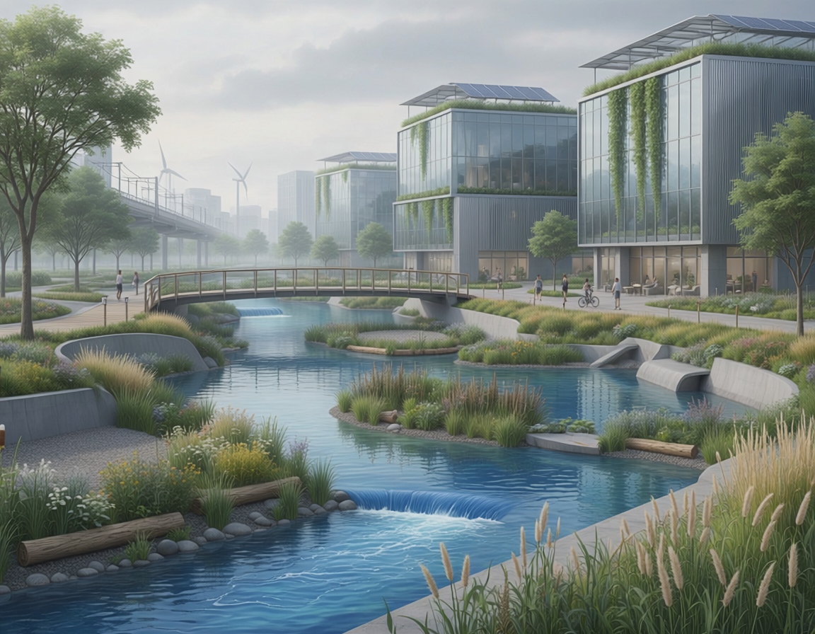
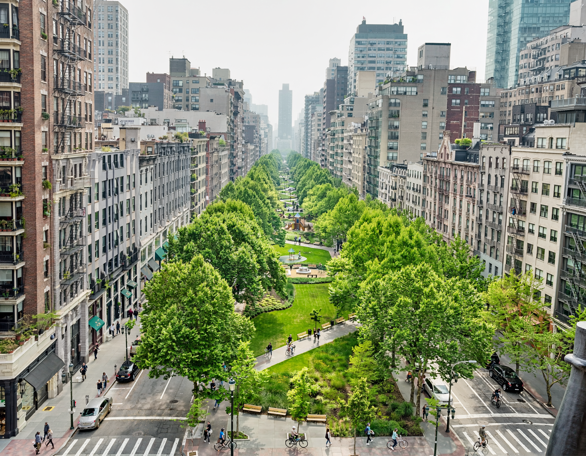
A green (ecological) masterplan serves as the blueprint for integrating natural ecosystems seamlessly into urban development strategies. Rather than treating green spaces as purely aesthetic or secondary components, this planning framework treats biodiversity, hydrological balance, and ecological corridors as foundational structural elements. By explicitly mapping out natural connectivity and resource loops before structural deployment, these masterplans prevent environmental fragmentation and buffer cities against climate shocks. Platforms such as Oppla.eu offer a critical repository for these macro-level designs, providing the empirical toolkits, case studies, and scalable models necessary to turn high-level ecological goals into practical zoning regulations. Ultimately, an ecological masterplan transforms modern municipalities from disruptive, concrete heat centers into passive, self-sustaining green networks that co-exist with their local ecosystems.

As rapid development continually exacerbates urban heat island effects and escalates localized flooding risks, urban planners are drastically altering how large-scale districts are conceived. Within the built environment, a green (ecological) masterplan functions as a comprehensive spatial and strategic planning framework that positions natural systems as the primary infrastructure of an urban zone. Rather than allocating residual, isolated parcels of land for decorative landscaping after buildings and gray utilities are finalized, this methodology targets the preservation, restoration, and continuous integration of structural ecosystems at the very outset of the municipal planning phase.
Methods and Spatial Connectivity in Ecological Design
The core objective of modern ecological masterplanning is ensuring structural and functional ecosystem connectivity across dense urban matrix environments. Ecosystemic research indicates that isolated pockets of urban greenery fail to support rich biodiversity or provide significant climate-mitigation benefits due to edge effects and fragmentation barriers. To counteract this, current masterplanning methods utilize advanced geographic information systems (GIS) and landscape connectivity algorithms to model and establish continuous urban green corridors that link interior urban spaces to larger peripheral woodlands or rural biomes.
These masterplanning frameworks typically employ a tiered, multi-functional design method:
- Core Ecological Hubs: Preserving intact natural zones, such as old-growth urban forests or native wetlands, to serve as primary biodiversity sanctuaries and regional cooling nodes.
- Active Buffer Zones: Restricting high-density development immediately adjacent to sensitive hubs, instead deploying lower-impact structural interventions like urban agriculture plots and passive recreational parks.
- Linear Green Infrastructure Lines: Utilizing transit pathways, active active-travel cycling networks, and altered riverfront contours to build continuous green arrays that crosscut the concrete grid.
By integrating these features directly into statutory zoning laws, developers must treat local hydrology and wildlife migratory pathways as fixed structural boundaries.
Ecosystemic Research and the Built Environment
Transitioning from standard land-use maps to dynamic ecological blueprints requires incorporating rigorous, data-driven ecosystemic research. Masterplans utilize localized hydro-dynamic and microclimate simulations to strategically place nature-based solutions where they yield the maximum spatial return on investment. For instance, rather than dispersing rain gardens uniformly, structural masterplanning models identify critical topographies prone to flash flooding, transforming those specific catchments into integrated sustainable drainage networks. This targeted approach actively reduces pressure on old municipal gray sewer lines during severe rain events while recharging local subterranean aquifers.
Scaling Masterplans Through Knowledge Platforms
Developing an expansive, multi-decade green masterplan involves navigating complex cross-sector governance hurdles, multi-million-dollar capital outlays, and intense municipal stakeholder alignment. To streamline this process, planners rely on knowledge networks like Oppla.eu, which hosts comprehensive structural evaluations and real-world implementation histories of large-scale green masterplanning initiatives across Europe.
By analyzing documented masterplans—such as Lisbon’s Vale de Alcântara green corridor network or Bari’s regional hydrogeological and landscape initiatives—planners can extract empirical data regarding long-term maintenance costs, community co-benefits, and funding mechanisms. Accessing these open-source toolkits and verified case studies allows urban administrative bodies to move beyond tentative, small-scale pilot designs, allowing them to confidently implement comprehensive, legally binding green masterplans that safeguard urban climate resilience.
References
- De Bellis, Y., & Sanesi, G. (2015). Bari – NbS for greening the urban space. Oppla Case Study Repository. https://oppla.eu/case-study/bari-nbs-greening-urban-space
- Lisbon Municipal Council. (2017). Lisbon: Masterplan Vale de Alcântara: A green corridor. EnRoute Project via Oppla. https://oppla.eu/enroute/case-study/lisbon-masterplan-vale-de-alcantara-green-corridor
- PHUSICOS Portal. (2022). Green corridors: Masterplan Vale de Alcântara (Lisbon). BRGM Nature-Based Solutions platform. https://phusicos.brgm.fr/fiche-solution/483
- Zuniga-Teran, A. A., & Staddon, C. (2024). Adapting street profile design by using nature-based solutions in new neighbourhoods and the retrofit of buildings. Buildings, 14(7), 1920. https://www.mdpi.com/2075-5309/14/7/1920