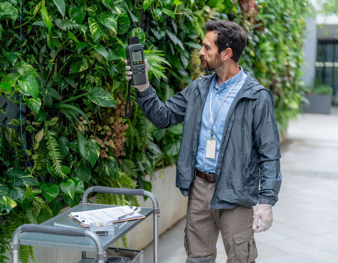
Geographic Information Systems (GIS) serve as an essential framework for capturing, managing, and analyzing spatial data across global and localized landscapes. By mapping geographic layers, users can detect intricate environmental patterns, evaluate infrastructure needs, and simulate spatial relationships. In modern urban and regional planning, the tool plays a vital role in balancing anthropogenic development with ecological preservation. Its versatile modeling capabilities allow researchers to visualize resource distribution and forecast the long-term impacts of climate change. Ultimately, GIS empowers stakeholders to make data-driven, spatially conscious decisions that foster sustainable development and resource efficiency.

GIS in the Built Environment: Methods, Ecosystemic Research, and Knowledge Platforms
Introduction to Spatial Intelligence in the Built Environment
The contemporary evolution of the built environment requires a paradigm shift from traditional engineering frameworks to holistic, socio-ecological spatial models. Central to this transition is the utilization of Geographic Information Systems (GIS), which act as an operational framework for collecting, analyzing, and visualizing spatial metrics. In the context of the built environment, GIS transitions from a simple mapping tool to an analytical mechanism capable of decoding complex structural interactions. It bridges architectural geometry with wider regional landscapes, providing urban planners and environmental scientists with the technical capacity to evaluate how human-made structures disrupt or integrate into local biophysical systems.
Methodological Frameworks and Ecosystemic Research
Ecosystemic research in urban domains requires advanced methodologies to quantify ecosystem services, map ecological connectivity, and track resource degradation. Methodologically, GIS functions as a diagnostic tool by utilizing multi-criteria decision analysis (MCDA) and weighted overlay strategies to assess terrain suitability for green infrastructure installations. Through these tools, researchers can combine data sets—such as soil permeability, surface runoff vectors, land use parameters, and thermal radiation—into unified models. This integration allows for the identification of optimal spatial interventions that maximize climate resilience while minimizing the expenditure of grey infrastructure assets. Furthermore, GIS-supported ecological research evaluates structural fragmentation, enabling planners to model and restore functional ecological corridors that permit species migration through dense urban cores.
The Ecosystem of Knowledge: Platforms and Co-Creation
The successful execution of ecosystem-focused urban interventions depends heavily on open-access repositories and knowledge-sharing platforms that democratize spatial intelligence. The Oppla Knowledge Marketplace serves as a prominent European platform designed to synthesize and disseminate nature-based solutions (NbS) and ecosystem service assessments. Platforms like Oppla connect scientific researchers, municipal planners, and spatial data scientists, fostering the co-creation of knowledge necessary for resilient cities. By hosting empirical tools, operational case studies, and policy briefs, these ecosystems ensure that GIS methodologies do not remain confined to academic silos. Instead, they are converted into scalable instruments that cities can replicate to monitor urban greening strategies, track performance metrics, and combat the compounding pressures of global climate change.
Synergy and Future Horizons
Integrating GIS methodologies with open repositories transforms the strategic planning of modern cityscapes. For instance, spatial diagnostics executed via GIS can be cross-referenced with empirical evidence hosted on platforms like the Nature-Based Urban Innovation Database or the International Union for Conservation of Nature to validate the socioeconomic co-benefits of urban forestry and blue-green systems. As remote sensing data and real-time citizen science inputs grow more sophisticated, the dynamic mapping of ecosystem services will expand. This continuous influx of spatial data allows for real-time monitoring of urban heat islands, stormwater storage capacity, and air filtration efficiency. Consequently, the combination of spatial analytics, ecological landscape design, and interactive knowledge networks provides a robust scientific foundation for adapting the built environment to meet long-term sustainability mandates.
References
- Cabuk, S. N. (2026). Nature-based approaches for a healthier planet and geographical information systems. ResearchGate, 118-124. https://www.researchgate.net/publication/388489363_Nature-Based_Approaches_for_A_Healthier_Planet_and_Geographical_Information_Systems
- Ibric, A., Bostenaru Dan, M., & Crăciun, C. (2024). Adapting street profile design by using nature-based solutions in new neighbourhoods and the retrofit of buildings. Buildings, 14(7), 1920. https://doi.org/10.3390/buildings14071920
- Cited by: 4
- Joint Research Centre. (2019). Strategic green infrastructure and ecosystem restoration joint science for policy report. JRC Publications. https://publications.jrc.ec.europa.eu/repository/bitstream/JRC113815/jrc-eea-env_joint_report_final_online2.pdf
- Joint Research Centre. (2025). Handbook of tools for informing and monitoring urban greening strategies and nature plans. Oppla Repository. https://oppla.eu/sites/default/files/2025-12/JRC144165_01_0.pdf
- Wójcik-Madej, J., Albert, C., & Castellar, J. A. (2026). Integrating nature-based solutions in cities: Strategic approaches with a focus on green gullies and linear parks. Journal of Ecological Engineering, 27(3), 142-155. https://www.jeeng.net/pdf-214908-139820