Integrating protected areas into the built environment establishes vital ecological strongholds that shield sensitive natural habitats from the severe impacts of urban sprawl. Moving beyond isolated wilderness conservation, modern land-use planning embeds these restricted zones within metropolitan borders to maintain a critical buffer against high-density gray development. Through rigorous ecosystemic research, planners utilize landscape connectivity graphing and carrying-capacity modeling to ensure human recreation does not degrade regional biodiversity. Centralized open-access platforms support these preservation initiatives by archiving proven case studies on managing urban and peri-urban habitats. Ultimately, weaving protected natural areas into the spatial design of cities creates functional ecological corridors that sustain long-term climate resilience and protect native species.
Defining Protected Areas within the Urban Built Environment
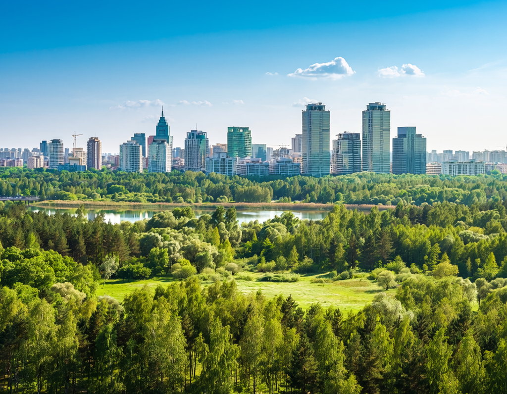
In the fields of landscape architecture and regional planning, protected areas—traditionally viewed as remote national parks or wilderness reserves—are increasingly being integrated into metropolitan planning. Within the context of the built environment, urban and peri-urban protected areas refer to designated geographic zones within or bordering city lines that are legally managed to achieve long-term biodiversity conservation and habitat protection.
Historically, unchecked urban sprawl relied on high-emission gray infrastructure, such as continuous concrete highway grids and dense commercial developments, which systematically fractured native ecosystems. Establishing protected areas directly inside or alongside urban boundaries provides a vital spatial counter-measure. These areas break up the impermeable urban fabric, introducing variable albedo, localized moisture, and structural biological complexity. By functioning as a physical barrier against encroaching concrete infrastructure, protected urban zones safeguard fragile habitats, absorb severe environmental shocks, and bridge the gap between human settlements and natural landscapes.
[Expanding Grey Infrastructure] ──> [Legally Designated Protected Buffer] ──> [Ecological Core / Resilience Zone]
Methods and Ecosystemic Research
To balance urban human access with strict biological preservation, environmental scientists apply quantitative ecosystemic research methods. These analytical tools evaluate how protected urban natural zones deliver crucial urban regulatory and cultural ecosystem services without succumbing to intense urban stressors.
Modern environmental scientists deploy several advanced methodologies to optimize these zones:
- Landscape Matrix Graphing and Connectivity Analysis: Researchers utilize spatial software to model the movement of native wildlife between isolated urban green spaces and larger protected reserves. This modeling guides the construction of eco-ducts and green corridors, allowing species to safely navigate around structural barriers like major highways.
- Carrying-Capacity and Post-Occupancy Auditing: Landscape architects evaluate the physical threshold of protected zones to determine how human recreational foot traffic impacts local natural resources. Planners analyze soil compaction, vegetation damage, and regional wildlife habits to design durable, elevated walking pathways that withstand heavy communal use while safeguarding localized ecosystem functions.
- Biotic Health and Water Quality Indexing: Environmental scientists assess macroinvertebrate biodiversity and plant health within protected urban wetlands to determine overall ecosystem vitality. By tracking these biological indicators, researchers design self-sustaining biofiltration zones that capture and treat stormwater runoff, ensuring aquatic ecosystems support freshwater biodiversity before water flows into surrounding residential areas.
The Role of Knowledge Platforms: Incorporating Oppla.eu
Mainstreaming protected area management into urban planning depends heavily on open-source repositories that share proven, evidence-based practices. The Oppla.eu info portal serves as a key European repository, synthesizing scientific data, policy tools, and practical case studies on Nature-Based Solutions (NbS) and spatial conservation.
Case studies hosted across collaborative European networks demonstrate how cities can combine active public recreation with ecosystem preservation. For example, the Medvednica Nature Park case study on Oppla highlights a structured approach for managing a peri-urban protected forest. By utilizing innovative Payment for Ecosystem Services (PES) frameworks—such as channelling corporate event permit fees directly into the maintenance of designated, low-impact Nordic walking trails—the city successfully manages intense public demand for recreation while funding the strict conservation of native woodland habitats.
| Conservation Asset | Structural Implementation | Primary Ecosystem Co-Benefit |
| Peri-Urban Forest Reserves | Legally protected woodland zones bordering high-density residential grids. | Absorbs regional greenhouse gas emissions; lowers the urban heat island effect. |
| Protected Infiltration Wetlands | Managed aquatic zones integrated into municipal stormwater management plans. | Minimizes flash flood vulnerabilities; naturally filters out heavy urban pollutants. |
| Restricted Eco-Corridors | Narrow, vegetated pathway strips connecting fragmented neighborhood parks to core reserves. | Promotes safe wildlife migration; reduces animal mortality from fragmented transport infrastructure. |
These open-access reference platforms help close the gap between theoretical environmental science and practical on-site construction. By providing field-tested data and shared performance metrics, they empower municipal leaders, urban engineers, and real estate developers to implement cohesive, integrated urban and territorial planning frameworks that establish protected areas as a core requirement for building safe, sustainable, and climate-resilient cities.
References
- Foltête, J. C., & Vuidel, G. (2025). Landscape graphs as tools for modelling and managing spatial ecological networks. Environmental Modelling & Software / Graphab. Thema Graphab Repository.
- IUCN. (2024). Protected Areas and Land Use. International Union for Conservation of Nature. IUCN Global Portal.
- Oppla.eu / Climate-ADAPT. (2021). OPPLA – Information hub for nature-based solutions. European Environment Agency. Climate-ADAPT Info Profile.
- SINCERE Project. (2021). Understanding the health functions of peri-urban forests in protected areas and Payment for Ecosystem Services. Oppla Case Study Database. Oppla Forest Management Profile.
- UN-Habitat. (2025). Nature-Based Solutions Integration into Urban and Territorial Planning. United Nations Human Settlements Programme. UN-Habitat Digital Library.
- Van de Meutter, F., et al. (2026). Assessing biodiversity and regulatory ecosystem services in urban water bodies which serve as aqua-Nature-based Solutions. Frontiers in Environmental Science. Frontiers Article Access.