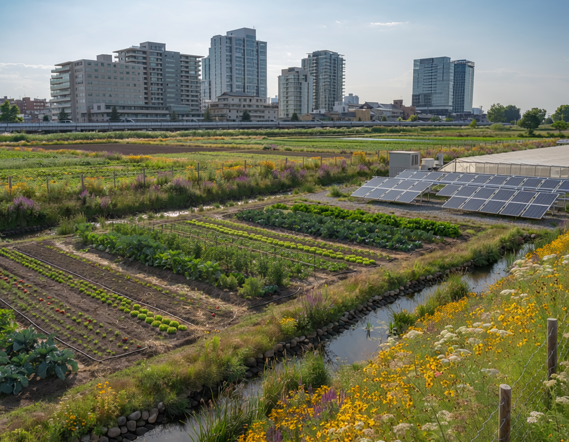
Agricultural land represents a dynamic landscape matrix that increasingly intersects with expanding urban boundaries, requiring integrated planning across the built-natural interface. When managed through regenerative frameworks, these open spaces serve as critical ecological buffers that mitigate urban sprawl, regulate regional microclimates, and manage watershed-level stormwater runoff. Modern spatial design methodologies focus on treating food-producing zones not as isolated rural clearings, but as multi-functional infrastructure capable of providing localized ecosystem services to neighboring built environments.
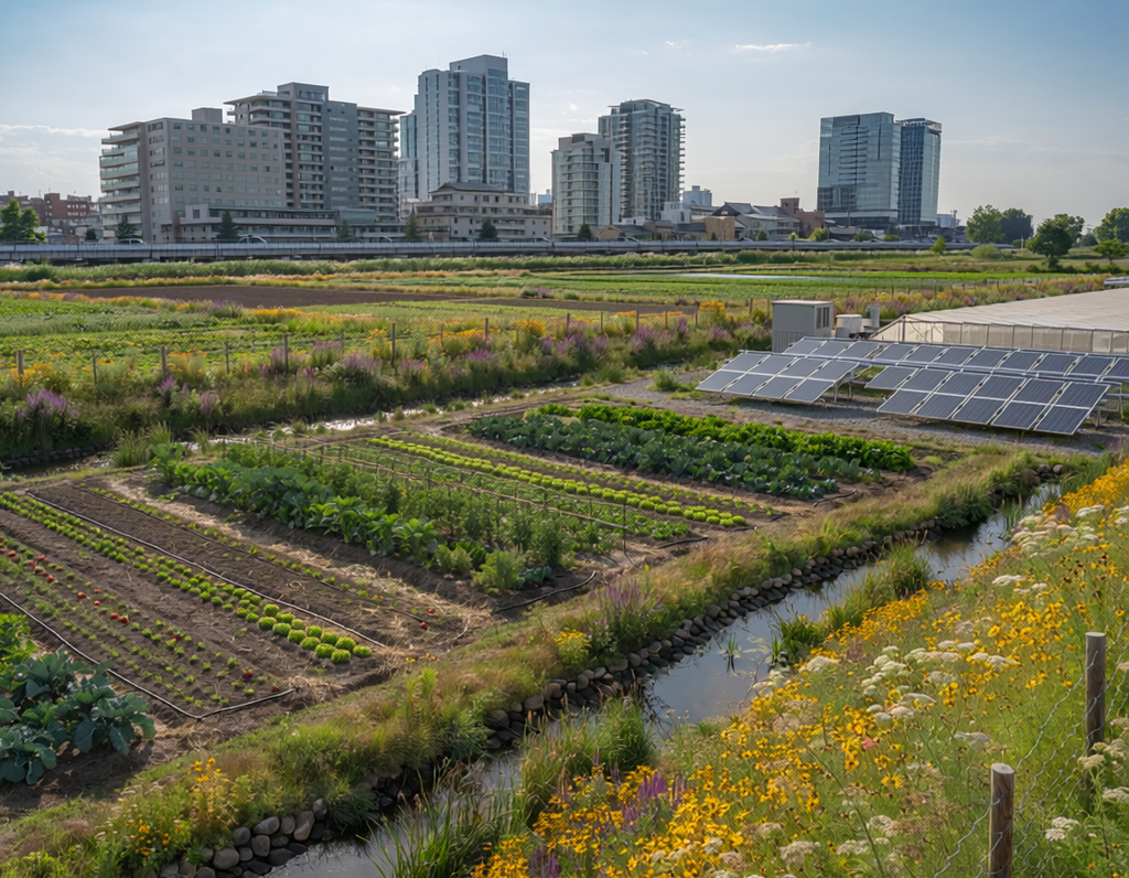
By deploying nature-based innovations across these peri-urban zones, municipal networks can protect essential biodiversity while bolstering their climate adaptation capacities. This collaborative land alignment ensures long-term regional food security, flood mitigation, and structural stability for expanding metropolitan populations.
The Intersect of Farmland and Urban Infrastructure
As global urban landscapes expand into rural fringes, the traditional separation between rural farming and city infrastructure has broken down. Within modern spatial planning and civil engineering, Agricultural Land is no longer viewed merely as an inactive reserve for future real estate development. Instead, it is recognized as a vital functional component of the wider urban ecosystem. Historically, rapid urbanization has paved over productive soils, replacing absorbent topsoil with impermeable concrete and asphalt. This transition accelerates topsoil erosion, amplifies downstream flooding, and destroys native ecological networks.
To reverse these destructive spatial patterns, modern landscape architects and municipal planning authorities focus on implementing Nature-based Solutions (NbS). This approach integrates food-producing spaces directly into regional climate adaptation strategies. By treating peri-urban agricultural zones as active eco-structural infrastructure, municipalities can manage hydrological cycles, lower urban heat profiles, and establish critical biological corridors that protect neighboring human settlements.
Methods of Ecosystemic Regeneration and Landscape Integration
Optimizing agricultural landscapes to support the built environment requires distinct agro-ecological methodologies that balance food production with structural protection. Rather than relying on intensive, industrial farming techniques that deplete regional soils, developers and land managers apply ecosystemic research to deploy integrated landscape assets:
- Agroforestry and Vegetative Buffers: Planting rows of deep-rooted trees and hedgerows along the edges of agricultural fields adjacent to highways and residential developments. These natural buffers filter airborne particulate matter, reduce noise pollution, and anchor structural soils to prevent landslides.
- Constructed Farm Wetlands and Retention Basins: Designing interconnected sediment basins and marsh zones within agricultural land parcels to capture nutrient-rich farm runoff. This process prevents fertilizers from entering urban waterways while storing excess stormwater during heavy downpours to reduce local flash flooding.
- Urban Edge Permaculture and Bioswales: Establishing low-impact, multi-tiered food forests on urban boundaries that utilize contoured swales to capture, clean, and infiltrate municipal rainwater runoff into regional aquifers.
By deploying these hybrid methodologies, cities convert vulnerable boundary zones from high-risk flood vectors into stable, productive buffers that shield human infrastructure from climate shocks.
Platform-Enabled Scaling and Knowledge Syntheses
A primary barrier to integrating agricultural lands into metropolitan infrastructure plans has been a lack of standardized performance metrics and collaborative governance models across rural and urban jurisdictions. Centralized knowledge clearinghouses like the Oppla.eu platform bridge this operational gap. Oppla hosts cross-sector case studies, standardized implementation toolkits, and impact-monitoring frameworks that help town planners convert raw ecological data into clear municipal policy.
Furthermore, data ecosystems such as the European Climate-ADAPT portal provide spatial developers with localized vulnerability maps and regional adaptation case studies. These shared resources help developers demonstrate the financial value of maintaining open farmland over building gray infrastructure. By leveraging these collaborative data platforms, regional planners move away from fragmented zoning practices, ensuring that agricultural lands are protected as high-value assets capable of delivering long-term ecological resilience and food security.
References
Climate-ADAPT. (2025). Sharing knowledge for a climate-resilient Europe. European Climate Adaptation Platform. https://climate-adapt.eea.europa.eu/
Oppla. (2026). The repository for nature-based solutions and ecosystem services. Oppla Knowledge Marketplace. https://oppla.eu/