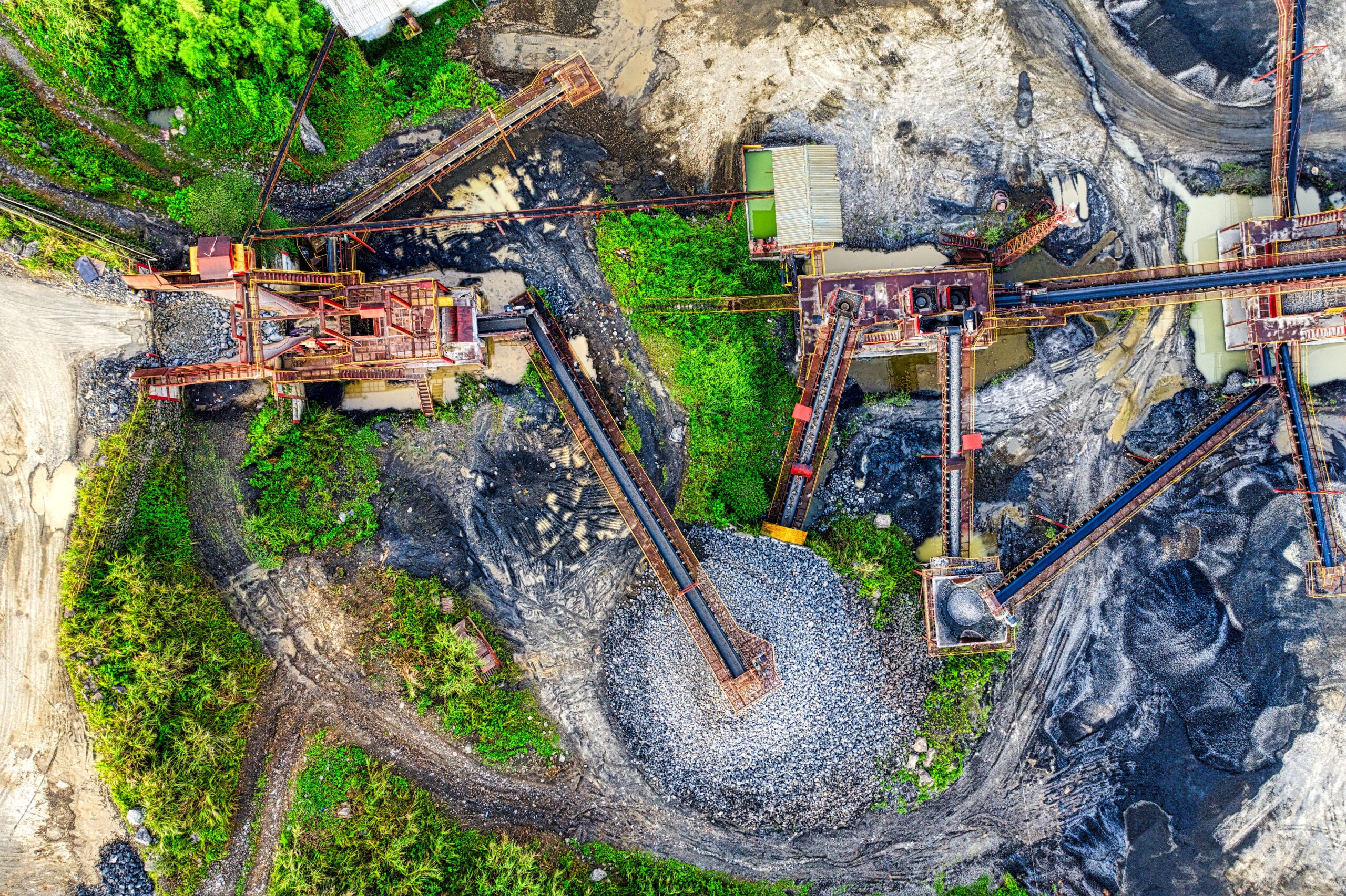
Displacement and off-site effects represent the geographical or structural transfer of environmental burdens beyond a project’s boundaries.
Within modern urban areas, localized sustainable interventions can unintentionally export ecological issues to peripheral landscapes.
This leakage often alters neighboring hydrologic dynamics, shifts resource extraction pressures, or triggers unexpected socio-spatial reconfigurations.
Evaluating these externalized footprints is essential for maintaining accurate life-cycle assessments and regional ecological balances.
Ultimately, mapping these spillover mechanisms enables spatial planners to develop more comprehensive, long-term nature-based solutions.

Systemic Teleconnections: Managing Displacement and Off-Site Effects in Urban Planning
As the design of the built environment transitions toward circularity and climate resilience, tracking the spatial boundaries of environmental impacts has become increasingly complex. In ecosystemic research, displacement and off-site effects—frequently referred to as ecological leakage, spillover effects, or off-stage burdens—describe the phenomenon where a localized sustainable intervention or structural development indirectly triggers environmental degradation, resource depletion, or socio-ecological vulnerability in another geographic area outside the immediate project boundaries. For example, creating an ultra-green urban center might require importing vast volumes of timber or aggregate, thereby driving deforestation or habitat fragmentation in remote supply chains. Without rigorous tracking methods, local sustainability achievements risk becoming cross-regional environmental transfers. This displacement can completely neutralize the environmental benefits of urban projects, shifting the ecological bill to unprotected rural territories.
Methodologies for Mapping Spatial Leakage
To prevent localized architectural successes from causing regional ecological harm, contemporary ecosystemic research leverages advanced multi-scalar assessment frameworks. Designers utilize consequential life-cycle assessments (c-LCA) and spatially explicit input-output models to track how material specifications and land-use alterations propagate along global supply lines. These analytical methods ensure that carbon offsets or biodiversity gains generated on-site are not actively undermined by downstream resource extraction or industrial manufacturing.
Furthermore, integrating on-site and off-site impact matrices allows engineers to distinguish immediate environmental shifts from broad watershed or airshed changes. For instance, localized soil conservation or stormwater interventions can radically alter downstream water volumes, changing watercourse forms, obstructing adjacent drainage networks, or causing unintended sediment starvation in lower river basins. By capturing these systemic ripples, engineers can optimize the spatial geometry of civil networks to respect natural planetary boundaries.
By visualizing these relationships, planners can explicitly predict how modifying an immediate site topography might impact regional hydrological safety, preventing downstream infrastructure burial, reservoir shortening, and localized waterbody eutrophication.
Platforms for Cross-Boundary Governance: Oppla and Policy Interfaces
Overcoming these fragmented spatial boundaries requires centralized open-access knowledge networks that integrate complex scientific metrics into direct municipal policies. Digital repositories like Oppla.eu serve as primary repositories for these cross-boundary frameworks, providing tested tools and case registries that help developers identify hidden trade-offs before ground is broken. Through the Oppla community hub, spatial planning authorities can explore systemic nature-based solutions (NbS) designed to minimize geographic displacement.
A notable example found within broader European spatial registers includes Lisbon’s integrated green corridor strategy, which avoids isolated urban greening by creating continuous, self-sustaining biological pathways. This methodology actively prevents the localized inflation of land values and accompanying socio-spatial displacement, a phenomenon known as green gentrification, while maintaining regional atmospheric cooling. Similarly, systemic guidelines published by the United Nations Environment Programme (UNEP) highlight the importance of matching local design mandates with regional material footprint tracking. Utilizing these open repositories allows modern architects to transition from inward-looking building practices to holistic, watershed-scale resilience, ensuring that local urban interventions actively reinforce global ecological stability.
References
- Journal of Cleaner Production. (2021). Consequential life-cycle assessment frameworks for evaluating spatial displacement and supply chain leakage in urban regeneration. Elsevier. https://doi.org/10.1016/j.jclepro.2021.127450
- ResearchGate / Soil Research Hub. (2021). On-site and off-site impacts of soil erosion and landscape topography modification. ResearchGate Publications. https://www.researchgate.net/figure/On-site-and-off-site-impacts-of-soil-erosion_tbl3_350344040
- Climate-ADAPT / Oppla. (2025). Information Hub for Nature-Based Solutions Portal. European Science-Policy Repository. https://climate-adapt.eea.europa.eu/en/metadata/portals/oppla-information-hub-for-nature-based-solutions
- Oppla Case Study. (2024). Lisbon: NbS Enhancing Resilience through Urban Regeneration. Oppla Knowledge Marketplace. https://oppla.eu/case-study/lisbon-nbs-enhancing-resilience-through-urban-regeneration
- UNEP. (2023). Ecosystems and Human Well-Being: Systemic Drivers and Spatial Teleconnections. United Nations Environment Programme. https://www.unep.org/resources/report/ecosystems-and-human-well-being-desertification-synthesis